

发布时间:2016-07-23 编辑:考研派小莉 推荐访问: 遥感与地理信息工程系

中山大学遥感与地理信息工程系介绍的内容如下,更多考研资讯请关注我们考研派网站的更新!敬请收藏本站。或下载我们的考研派APP和考研派微信公众号(里面有非常多的免费考研资源可以领取哦)
中山大学学姐微信
为你答疑,送资源

为你答疑,送资源

95%的同学还阅读了: [2020中山大学研究生招生简章] [中山大学研究生分数线[2013-2020]] [中山大学王牌专业排名] [中山大学考研难吗] [中山大学研究生院] [中山大学排名] [中山大学考研群] [中山大学研究生学费] [中山大学研究生奖学金] [考研国家线[2006-2020]] [2021年考研时间:报名日期和考试时间]
中山大学遥感与地理信息工程系介绍正文
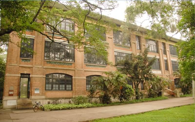
中山大学遥感与地理信息工程系介绍遥感与地理信息工程系(遥感与地理信息工程应用中心)的前身是老地理学系的测绘教研室,由缪鸿基教授于1978年创建,1996年扩展为地图学与GIS教研室。2002年成立地理科学与规划学院时,与1989年建立的遥感应用中心合并,建立了遥感与地理信息工程系和遥感与地理信息工程应用中心,一套人马,两块牌子。系为实体,面向教学;中心为虚体,面向科研。
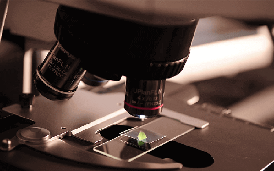
本系(中心)现有人员15人,其中:教授4人,副教授2人,讲师6人,工程师2人,助教1人;具有博士学位7人,硕士学位6人。目前有一个地理信息系统(理科)本科专业、一个地图学与地理信息系统(理科)硕士点和一个地图学与地理信息系统(理科)博士点。500平方米的GIS实验室现有120台IBM高档微机、国内外主流GIS软件、遥感图象处理软件、相应的测绘、光谱分析仪器等。
地学应用是本系(中心)的主要科研方向,承担了多项国家级科研项目和大量的地方应用项目,在许多方向上具较高的学术水平,如:城市发展CA模拟、模糊对象的动态性、城市土地利用变化、海洋遥感、大气污染遥感探测、自适应结构化地图自动概括等。本系教师发表的SCI论文数量位于全国前列。
The Department of Remote Sensing and GIS Engineering (The Applied Centre of Remote Sensing and GIS Engineering) originated from the Survey Division of Geography Department. It was founded by Professor Miao Hongji in 1978, and upgraded to the Division of Cartography and GIS in 1996. The Department of Remote Sensing and GIS Engineering (The Applied Centre of Remote Sensing and GIS Engineering) was established by merging this division and the Applied Remote Sensing Centre (established in 1989) when the School of Geographical Science and Planning was established in 2002.
The Department (Centre) has 15 staff members, which include 4 professors, 2 associate professors, 6 lecturers, 2 engineers, and 1 assistant professor. Seven staff members hold PhD degree and six members hold Msc degree. There are a bachelor program in geographical information systems, and master and PhD programs in cartography and geographical information systems. The GIS laboratory has an area of 500 m2, equipped with 120 IBM high-end computers, popular GIS and remote sensing software packages. There are also other survey and spectral analysis instruments in the laboratory.
The department (center) has undertaken many research projects funded by the national and local agencies. The research interests of the faculty members include urban cellular automata, fuzzy and dynamic representation in GIS, modeling urban land use changes, remote sensing application in oceanography, remote sensing for atmospheric pollution monitoring, and automatic map generalization. Their papers have appeared in top international journals, such as International Journal of Geographical Information Science, Photogrammetric Engineering & Remote Sensing, International Journal of Remote Sensing, Remote Sensing of Environment, Environment and Planning A, and Environment and Planning B.
本文来源:http://m.okaoyan.com/_m/zhongshandaxue/paiming_35872.html